Drone/UAV Services
Unmanned Aerial Vehicle (UAV)/Drone Mapping
High Resolution Imagery, 3D Modeling, Terrain Modeling
At Points North GIS we use specially designed mapping Drones/UAVs to create high resolution imagery,
vegetation health surveys, 3D building and landscape models and terrain models that provide elevation, slope and aspect
that can be used in landscape planning, surface water modeling and change detection.
Points North GIS ensures that all flights meet Transport Canada's UAV Safe Operating procedures and that all participating
staff are highly trained and experienced.
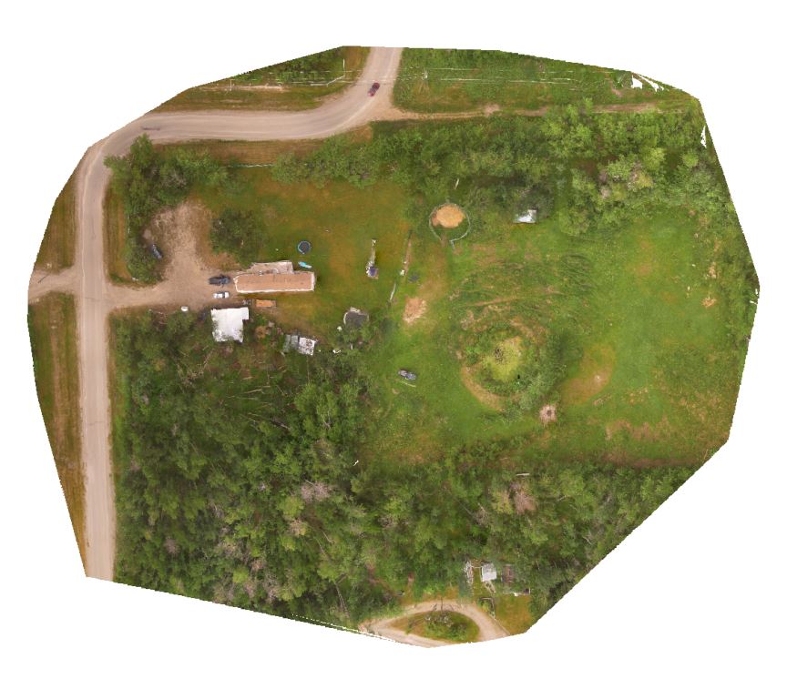
High Resolution UAV Imagery
Specialized aerial mapping UAVs are capable of generating very accurate and high resolution images.
The images captured by the UAV (ranging from 100 to 1000 depending on the surveyed area) are stitched
together using specialized photogrammetry software resulting in a continuous, high resolution
orthographic image that can be used in programs like Google Earth or specialized GIS software to
produce maps, accurately locate and map ground features, track terrain/building/feature changes over
time or to use in planning or marketing.
To view an example of what kind of imagery our UAVs can produce follow this link -->
High Resolution Imagery Example
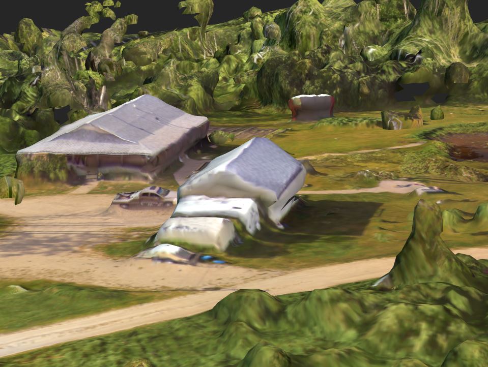
3D Modeling
In addition to creating high resolution imagery, UAV surveys can produce interactive 3D mesh models that aid in visualizing landscapes,
creating marketing tools and in planning.
To view an example of a 3D model generated from UAV imagery follow this link -->
3D Mesh Model Example
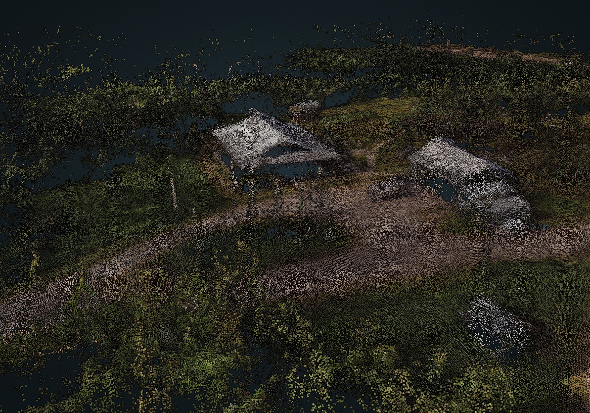
Dense Point Clouds
Combining UAV survey images and photogrammetry techniques very dense point clouds can be calculated. Point clouds are a mass of precise three dimensional coordinates (x/y/z) that can be used in specialized software to perform very precise measurements of terrain slope, distance, heights of vegetation or buildings and volume measurements of aggregate piles or dug out areas.
Utilizing very dense point clouds, such as the ones generated with UAV surveys, usually requires expensive and computer intensive software, however, Point North GIS is able to provide customers the ability to access the data through a custom and secure web page where the products can be fully interacted with.
To view an example of a 3D model generated from UAV imagery follow this link --> Dense Point Cloud Example